There are many decisions that go into the design and presentation of that data, which can fundamentally shape the story that is being told. Furthermore, maps invite the reader to explore the information being provided, creating their own interpretation of the data. This HADES Seminar will explore and test this principle, by sharing different maps created using the same dataset, and working with participants to understand the different stories they are telling, and what lessons can be learnt.
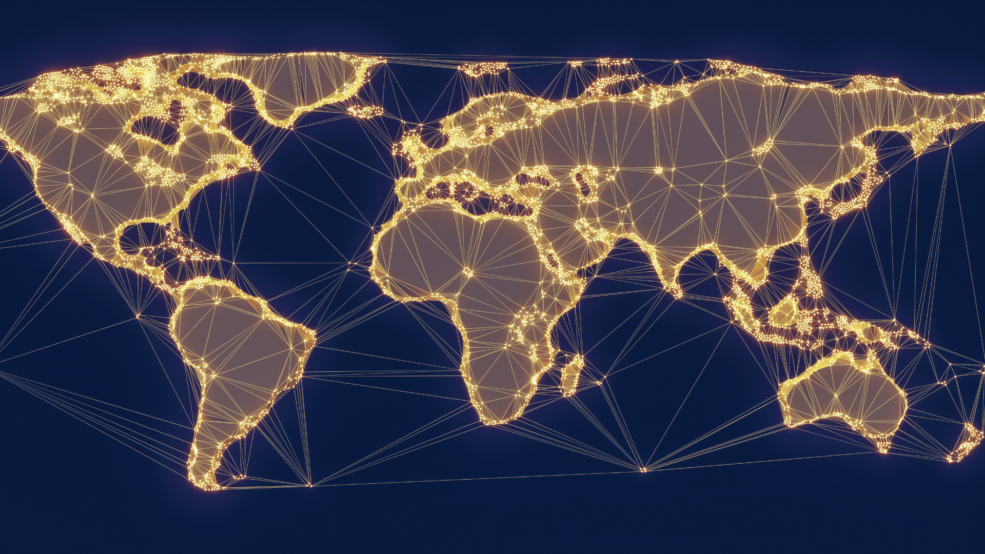
A geographic map can be powerful data visualisation, used to explore concepts of place, location, and distance that are inherent in much humanities research.
With the advent of technology and tools that simplify the creation of maps, especially when working with large datasets, they have become a prominent feature in the world of digital humanities.
It is important to remember that, while potentially appearing as an objective visualisation (it’s just plotting data on a map!), the mapmaker is telling a story when they create a map.
There are many decisions that go into the design and presentation of that data, which can fundamentally shape the story that is being told. Furthermore, maps invite the reader to explore the information being provided, creating their own interpretation of the data.
This HADES Seminar will explore and test this principle, by sharing different maps created using the same dataset, and working with participants to understand the different stories they are telling, and what lessons can be learnt.
HADES is group of Humanities and Diverse eResearch Scholars based at UoM united around inclusive, diverse and ethical approaches to digital research in HASS fields, and the crucial link between teaching and research.
Presenters
Dr Emily Fitzgerald
Research Data Specialist, Melbourne Data Analytics Platform
Emily Fitzgerald is a historian and Research Data Specialist. Her PhD research on the transnational connection between Australia and the United States during the development of Australian Federation fostered her interested in the digital humanities, where she has a particular affection for creating maps and data cleaning.
She is keenly interested in what technological tools and skills can bring to humanities research and what humanities scholars can bring to technological development.